Name
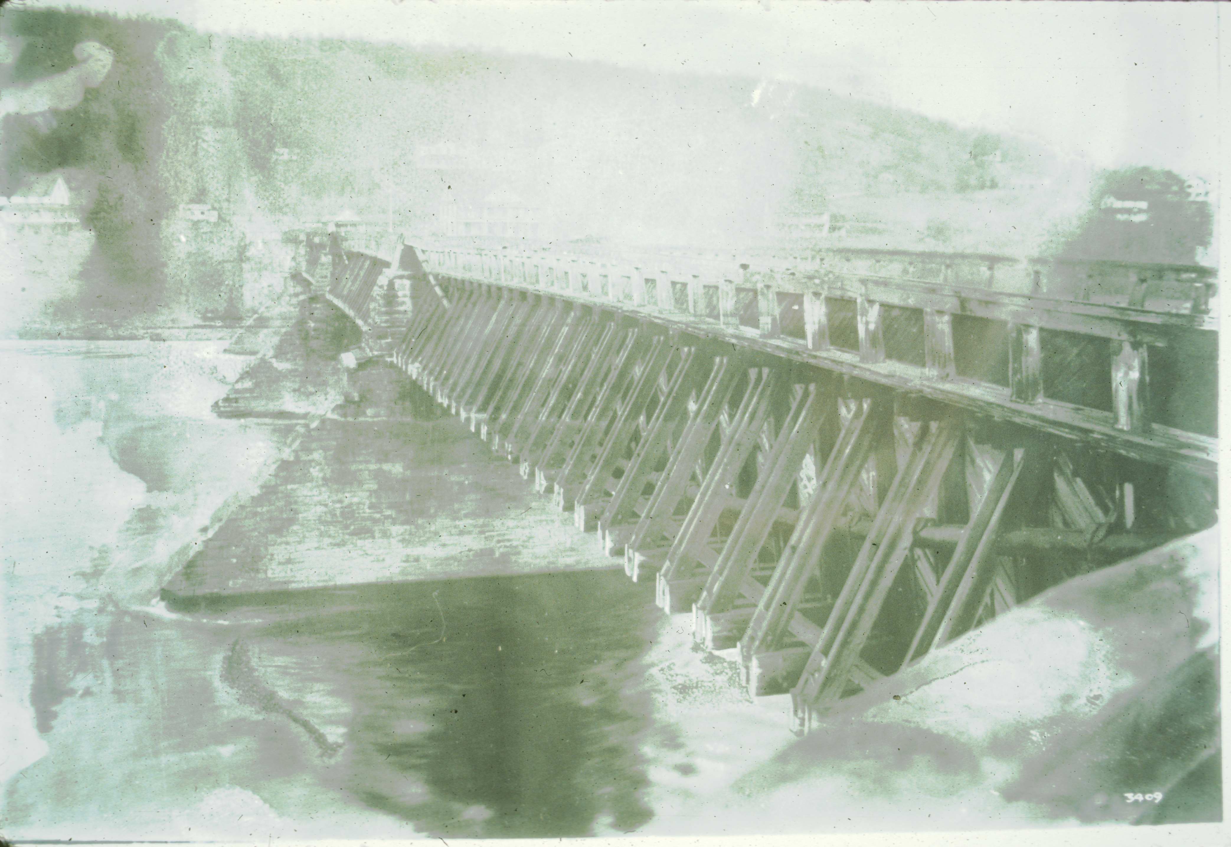
Delaware Aqueduct
Photo Date
0000-00-00
Photo Credit
Robert M. Vogel
Photo Site ID
Structure
Unit
7
Piece
2-55
Collection
1
Photo_Notes
Historic photograph of the Delaware (Roebling) Aqueduct with the tow paths removed. The photograph was taken after the aqueduct was converted to a highway bridge.
The aqueduct is located within the Upper Delaware Scenic and Recreational River boundaries and was periodically restored by the National Park Service in the 1980s and 1990s. The aqueduct is a designated National Civil Engineering Landmark.
The aqueduct is located within the Upper Delaware Scenic and Recreational River boundaries and was periodically restored by the National Park Service in the 1980s and 1990s. The aqueduct is a designated National Civil Engineering Landmark.
